Booking choice: The guided hike with transport, from $140 per person. Check dates Compare the options below
The Bureau of Land Management numbers more than 30 trails on its visitor map, and the loop road gives access to most of the short ones. Distances below are round trip.
Trail data comes from the Bureau of Land Management visitor guide from January 2026, with safety guidance from the Bureau of Land Management visitor page. Older websites quote different lengths for the same trails, so use these. Stops are in the Scenic Drive stops guide.
The quick answer
Start with Lost Creek Children's Discovery Trail (0.8 mile) or Pine Creek Canyon (2.4 miles). Calico Tanks is 2.2 miles of scrambling, and Ice Box Canyon is 2.2 miles of boulder hopping that the Bureau rates difficult. The guided hike with transport at $140 includes the entrance fee and a guide.
What are the best easy hikes in Red Rock Canyon?
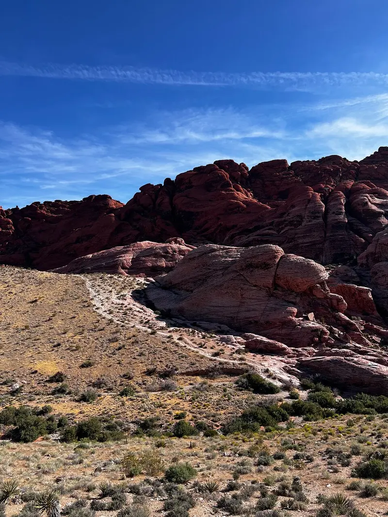
Lost Creek Children's Discovery Trail, the Moenkopi Loop, the Willow Spring Loop and the Red Spring Boardwalk.
The Bureau of Land Management visitor guide from January 2026 rates Moenkopi Loop easy at 2.1 miles from the Visitor Center, Willow Spring Loop easy at 1.1 miles, and Lost Creek Children's Discovery moderately easy at 0.8 mile with a seasonal waterfall. The Red Spring Boardwalk is half a mile and wheelchair accessible. None needs special gear beyond shoes with ankle support and water.
| Trail | Round trip | Rated | Highlight |
|---|---|---|---|
| Red Spring Boardwalk | 0.5 mile | Easy, accessible | Meadow fed by a spring |
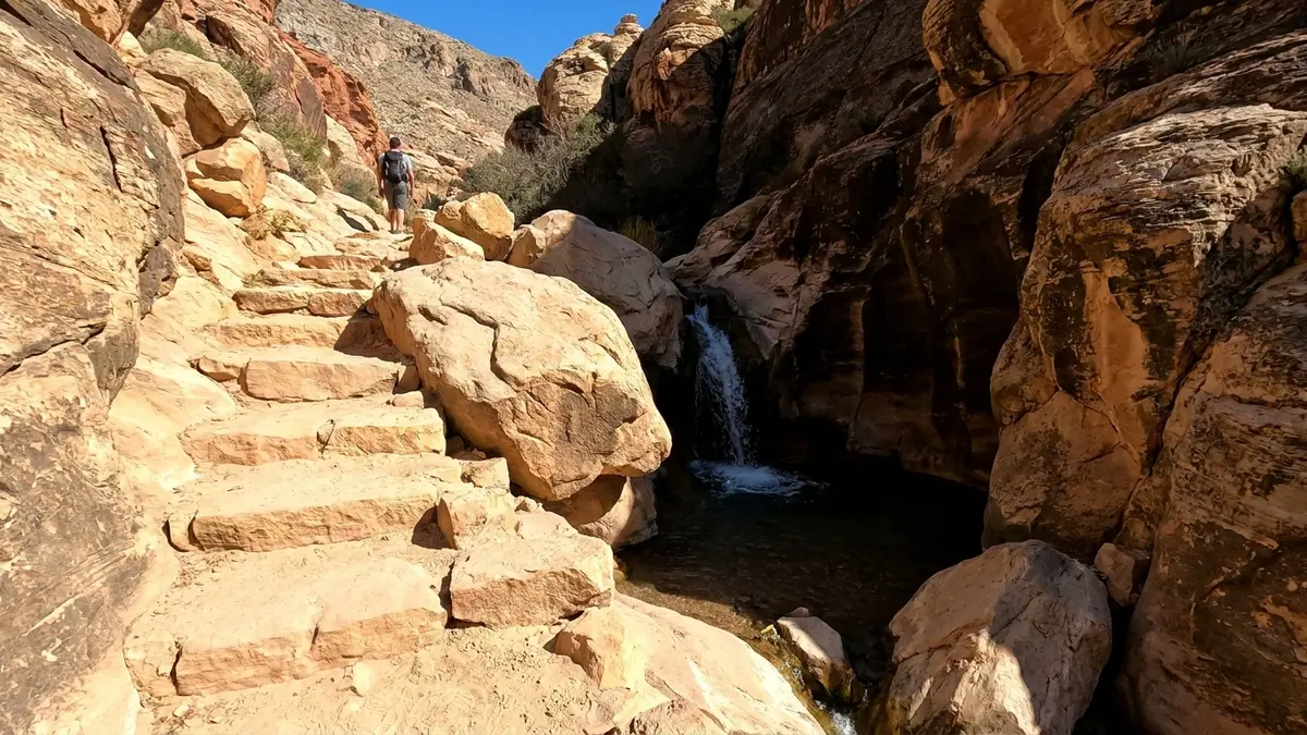
| Lost Creek Children's Discovery | 0.8 mile | Easy | Stream and seasonal waterfall |
| Moenkopi Loop | 2.1 miles | Easy | Ridge views from the Visitor Center |
| Pine Creek Canyon | 2.4 miles | Moderate | Pine grove and canyon views |
| Calico Tanks | 2.2 miles | Moderate | Scramble to seasonal pools |
| Keystone Thrust | 2.4 miles | Moderate | Limestone over sandstone contact |
| Ice Box Canyon | 2.2 miles | Difficult | Boulder hopping to a waterfall |
Is Calico Tanks hard?
It is moderate: 2.2 miles round trip with 398 feet of climbing and a scramble over sandstone slabs.
The Bureau of Land Management visitor guide from January 2026 describes a steep trail through a wash, then slabs that need hands in places, ending at seasonal pools called tinajas and wide views across the Las Vegas valley. It starts from the Sandstone Quarry lot and takes about two hours. Slabs can be slippery in rain, and sandstone turns brittle when wet.
What is the Ice Box Canyon trail like?
Short but rough: 2.2 miles round trip with 404 feet of climbing and boulder hopping to a seasonal waterfall at the back.
The Bureau of Land Management visitor guide from January 2026 lists it under difficult trails and allows three hours. It crosses open desert, then enters a narrow canyon where the route is not obvious. The waterfall flows seasonally, so ask at the Visitor Center. The trail is a bad choice before or during rain because a narrow canyon is where flash floods run.
What about Pine Creek Canyon and the White Rock trails?
Pine Creek is a moderate 2.4 mile walk, and White Rock offers longer loops of 4.6 and 6.2 miles.
The Pine Creek Canyon trail is 1.6 miles plus a 0.8 mile loop, 300 feet of climbing, with views of the sandstone peak Mescalito. For longer days, the Bureau of Land Management visitor guide from January 2026 lists White Rock to Willow Spring at 4.6 miles, moderate, and the White Rock Mountain Loop at 6.2 miles and four hours, difficult. The map has no trail called White Rock Hills, so use those names when you ask at the center.
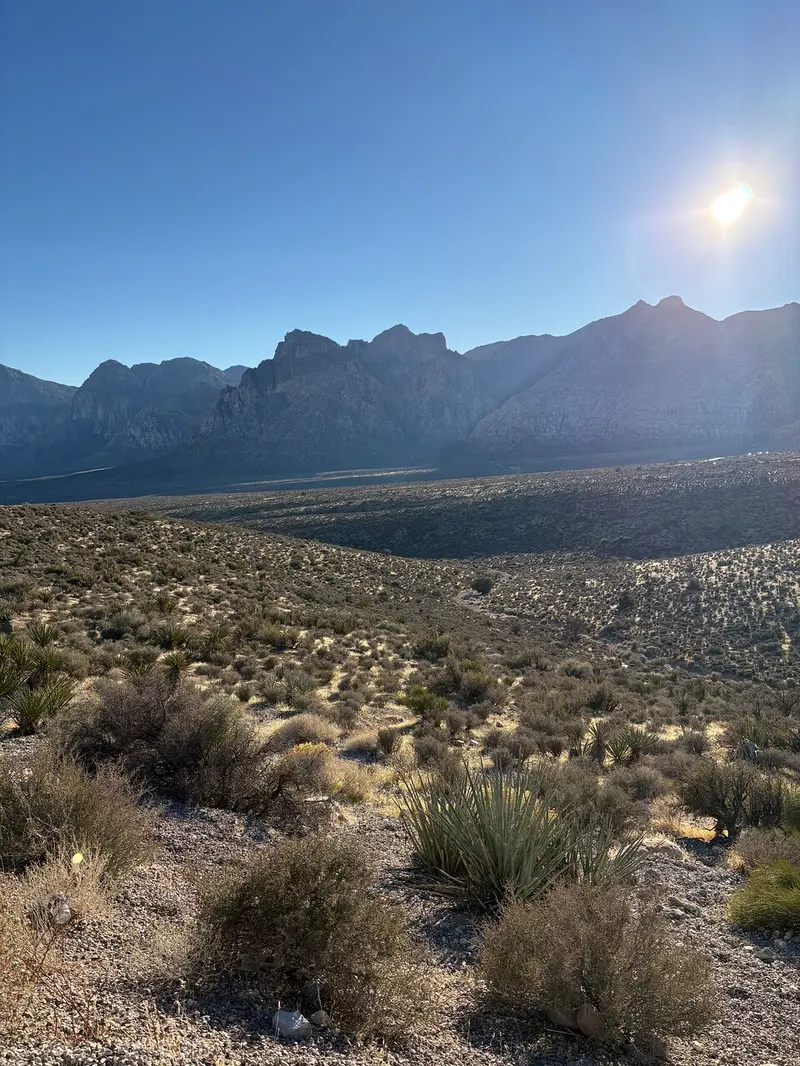
How much water should you carry?
At least two liters per person plus a liter for every mile of hiking, and more than that in summer heat.
The Bureau of Land Management visitor guide from January 2026 gives that formula and says the Visitor Center is the only place to refill. The Bureau of Land Management visitor page advises at least a gallon (four liters) a day for strenuous activity or hot forecasts, and notes that spring and creek water may carry parasites. Summer highs average over 100 F, so hike at dawn or dusk.
What are the flash flood and heat rules?
Avoid washes and canyons when rain is possible, never cross water on a road, and get out of the sun if you feel dizzy.
The Bureau of Land Management visitor guide from January 2026 says summer monsoon storms and winter rain can cause flash floods, and to shelter indoors when thunder is heard. It also says cell service is unreliable and that 911 may not connect, so tell someone your route. Dizziness or nausea means shade and water at once. None of this makes the trails unsafe; it makes the plan the safety.
A 2 to 2.5 hour guided hike with coach transport and the entrance fee included.
Check dates for the guided hike with transportCan you hike with a dog or see wildlife?
Dogs on a leash of 6 feet or less are allowed on trails, and wild burros and other animals must not be approached.
The Bureau of Land Management visitor page says pets may never be left unattended, even in a vehicle, that hot cars can be fatal, and that pets cannot enter the Visitor Center or its outdoor exhibits. It also warns never to approach wild animals, even burros. The visitor guide adds that rattlesnakes and scorpions hide in crevices, so never put hands or feet where you cannot see.
Is a guided hike worth it?
For a first visit, yes: a guide picks the trail for the conditions and handles transport and the fee.
The guided hike leaves from Treasure Island on an air-conditioned coach, lists a 2 to 2.5 hour hike, bottled water and the Scenic Loop entrance fee, and is rated 4.8 from 795 reviews. Guests report a guide who adjusted the route to the group and handed out snacks. If you would rather ride, the guided e-bike tour covers the loop with less effort.
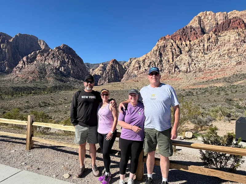
A guided hike with coach transport and the entrance fee included.
Explore the guided hike with transportFrequently asked questions
What is the easiest hike in Red Rock Canyon?
The Red Spring Boardwalk at half a mile is wheelchair accessible, and Lost Creek Children's Discovery Trail at 0.8 mile is the easy waterfall walk.
How long is the Calico Tanks hike?
2.2 miles round trip, about two hours, with a scramble over slabs to seasonal pools.
How much water do you need for a hike in Red Rock Canyon?
At least two liters per person plus a liter for every mile, and the Visitor Center is the only place to refill.
Is Ice Box Canyon safe to hike?
It is rated difficult and floods in storms, so go in dry weather, start early and carry extra water.
Ready to book
Choose your Red Rock Canyon tour
Every option here can be cancelled for a full refund; the deadline is on each listing. Prices are from-prices in USD and move with the season.
Red Rock Canyon Hike with Transport
A 2 to 2.5 hour guided hike with coach transport and the entrance fee included
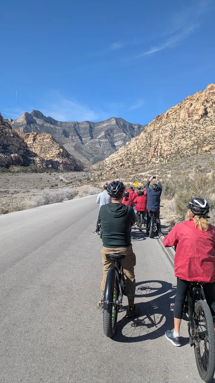
Red Rock Canyon E-Bike Half-Day Tour
- About 4 hours 15 minutes with a professional guide
- E-bike and helmet
- Bottled water and a snack
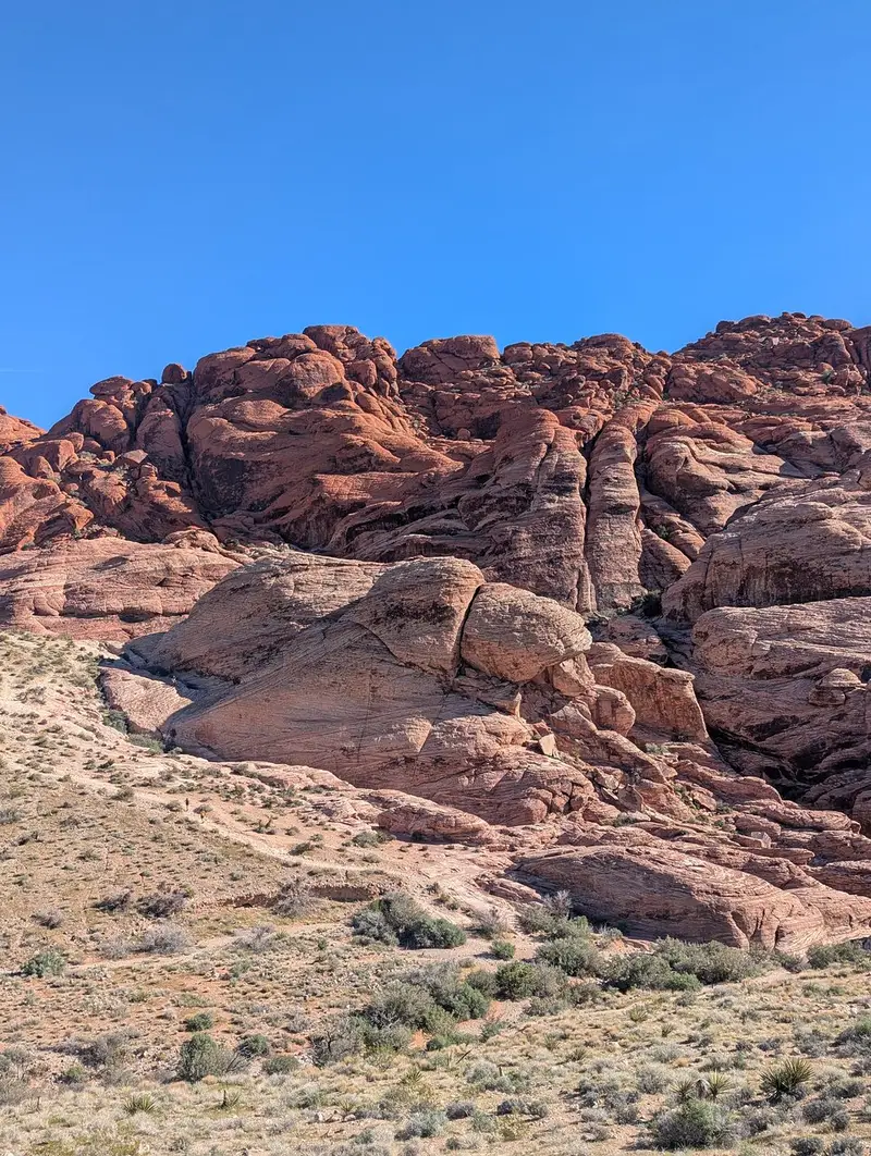
Award Winning Red Rock Canyon Tour
- About 4 hours, with round-trip shuttle from select Las Vegas Strip hotels
- Choice of three routes: the award winning tour, the scenic loop tour or the ultimate Red Rock tour
- Park entrance fees