Booking choice: The small-group guided tour, from $127 per person. Check dates Compare the options below
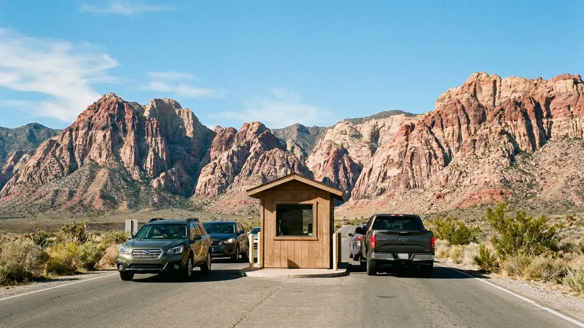
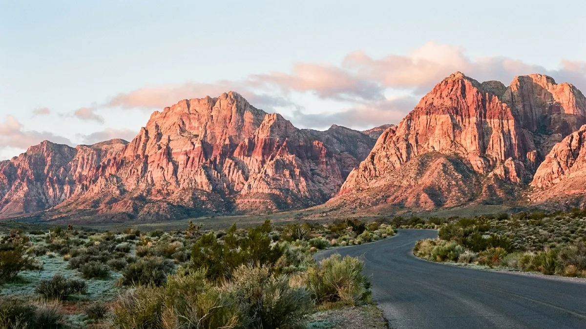
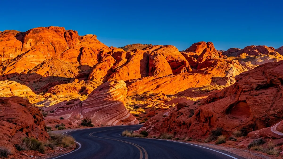
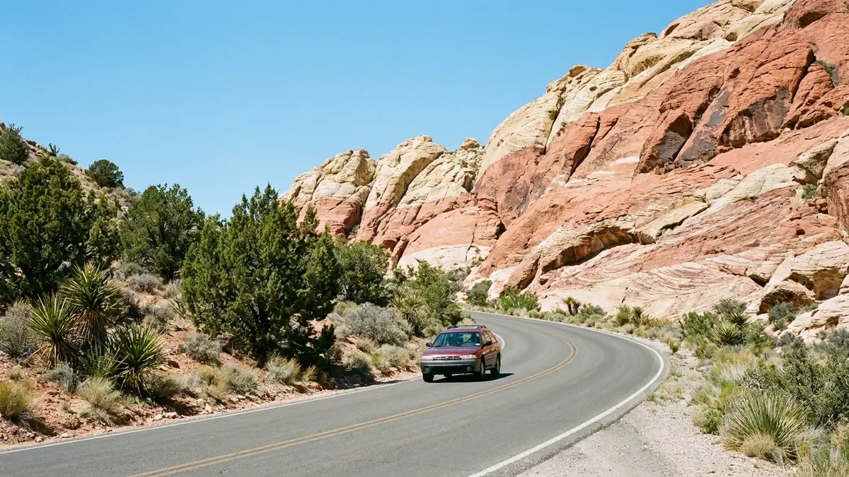
The Scenic Drive is a 13-mile paved loop with a speed limit that averages 35 mph. It takes about 45 minutes without stops, and most visitors use two hours or more.
The stop list follows the Bureau of Land Management Scenic Drive map and the Bureau of Land Management visitor guide from January 2026, with distances and times from the same guide. Hours and fees are in the best time guide and the tickets guide.
The quick answer
Stop at the Visitor Center, Calico Hills I and II, Sandstone Quarry, High Point Overlook, Willow Spring and Pine Creek, in that order, because the road is one way. The small-group guided tour at $127 drives the loop for you and names the formations along the way.
How long is the Red Rock Canyon Scenic Drive?
It is 13 miles one way and takes about 45 minutes without stops.
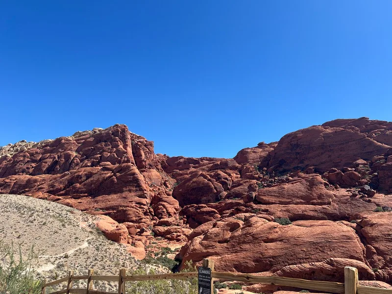
The Bureau of Land Management visitor page gives those two numbers and a speed limit that averages 35 mph. It also says plainly not to drive counter-clockwise, which is illegal and can be ticketed. Park only in the marked lots: the Bureau of Land Management visitor guide from January 2026 says parking off the road damages desert plants that take decades to recover, and that stopping on the road, even for a photo, causes accidents.
What are the stops on the Scenic Drive, in order?
The Visitor Center comes first, then Calico Hills I and II, Sandstone Quarry, High Point Overlook, Red Rock Wash Overlook, Willow Spring, Ice Box Canyon and Pine Creek.
The Bureau of Land Management Scenic Drive map shows that sequence before the exit toward Las Vegas. Red Spring and Red Rock Overlook sit along State Route 159, outside the loop. The table below says what each one is, using the Bureau of Land Management visitor guide from January 2026 for trail names.
| Stop | What it is | Trail from it |
|---|---|---|
| Visitor Center | Exhibits, restrooms and the only place to refill water | Moenkopi Loop, 2.1 miles round trip |
| Calico Hills I and II | Overlooks onto red and cream sandstone, with interpretive panels | Calico Hills Trail |
| Sandstone Quarry | Remains of the quarry that once cut the sandstone | Calico Tanks, 2.2 miles round trip |
| High Point Overlook | The highest point on the road, looking across the basin | Views only |
| Red Rock Wash Overlook | A pullout with views across the wash | Views only |
| Willow Spring | Picnic area with rock art and a short desert loop | Petroglyph Wall, 0.2 mile; Lost Creek, 0.8 mile |
| Ice Box Canyon | A canyon mouth with a boulder-hopping trail | Ice Box Canyon, 2.2 miles round trip |
| Pine Creek Canyon | A canyon with a pine grove and creek crossing | Pine Creek Canyon, 2.4 miles round trip |
What do you see at Calico Hills and Sandstone Quarry?
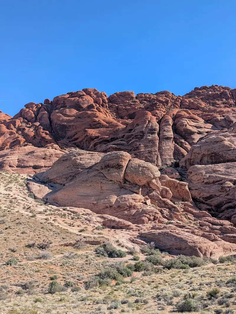
Calico Hills I and II look out over red and cream sandstone, and Sandstone Quarry marks where that stone was once cut.
The sandstone is Jurassic dune rock, stained red by iron oxide, according to the Bureau of Land Management visitor guide from January 2026. The overlook at Calico I carries interpretive panels that explain the dunes. At Sandstone Quarry the Calico Tanks trail climbs through a wash and over slabs to seasonal pools called tinajas, a 2.2 mile round trip rated moderate.
Is High Point Overlook worth a stop?
Yes. It is the highest point on the road, and the view back across the basin is the one that gives a sense of scale.
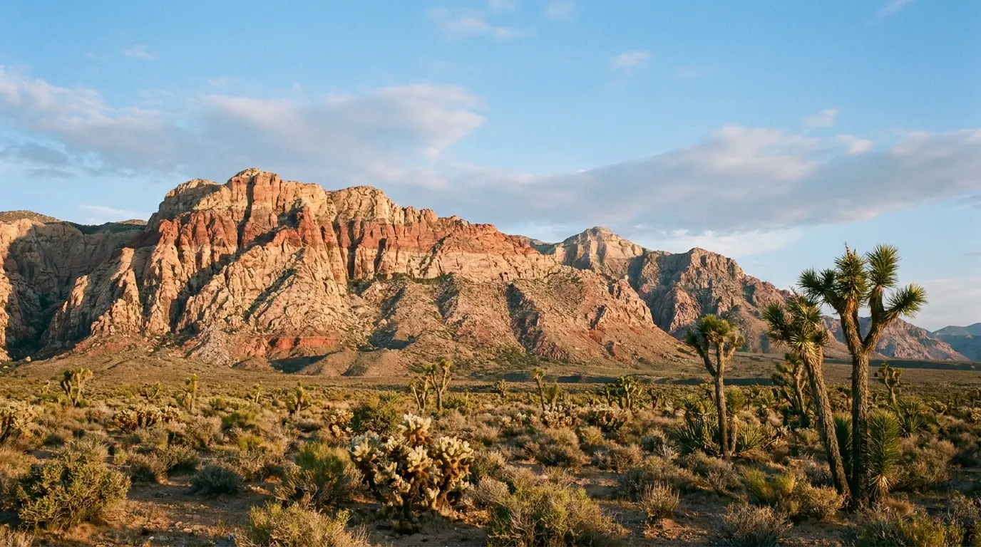
High Point and the next pullout, Red Rock Wash Overlook, are views rather than trailheads, so they take little time. On a tour the guide chooses what to include: the small-group tour lists the Calico Hills, Wilson Cliffs and petrified sand dunes, and guests report a guide who explained rock art and desert plants along the way.
What is at Willow Spring and Lost Creek?
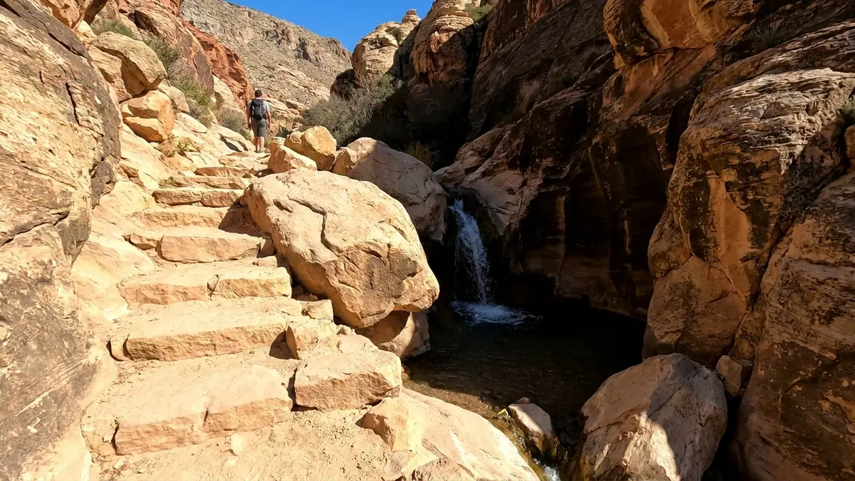
Willow Spring is a shaded picnic area with a short rock-art trail, and the Lost Creek trailhead nearby leads to a seasonal waterfall.
The Bureau of Land Management visitor guide from January 2026 lists the Petroglyph Wall Trail at 0.2 mile, a 30 minute walk across a wash to carvings and paintings made by Indigenous peoples. Lost Creek Children's Discovery Trail is 0.8 mile round trip with interpretive signs, a stream and a seasonal waterfall. The Bureau of Land Management calls the Lost Creek waterfall the easiest in the area to reach, when conditions allow. Leave the rock art as you find it.
A small group, a local guide and the entrance fee on the fare.
Check dates for the small-group guided tourWhich stops do Ice Box Canyon and Pine Creek Canyon offer?
Ice Box Canyon is a rugged boulder scramble to a seasonal waterfall, and Pine Creek is an easier path to a pine grove under the escarpment.
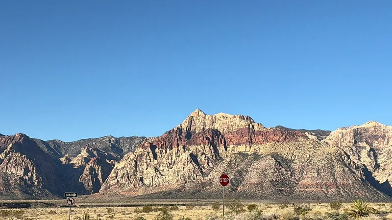
The Bureau of Land Management visitor guide from January 2026 rates Ice Box Canyon among its difficult trails at 2.2 miles round trip, with boulder hopping to the back. Pine Creek Canyon is moderate at 2.4 miles, with a 0.8 mile loop and a view of Mescalito, a sandstone peak in the center of the canyon. The hikes guide ranks the trails by effort.
What about Red Spring and the Keystone Thrust?
Red Spring is a boardwalk on State Route 159 outside the loop, and the Keystone Thrust is a trail that starts from the Upper White Rock lot.
The Bureau of Land Management visitor guide from January 2026 lists the Red Spring Boardwalk at half a mile and wheelchair accessible, looping around a meadow fed by a spring. The Keystone Thrust trail, 2.4 miles round trip, shows the contact where older grey limestone sits above younger red and tan sandstone. Plan both as extras, not as part of a 45 minute drive.
Should you drive the loop yourself or take a tour?
Drive it yourself if you have a car and a reservation, and take a tour if you want a guide and no parking search.
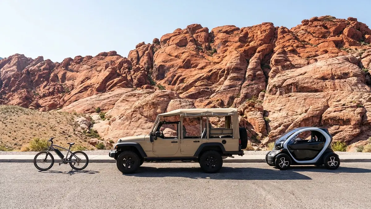
A self-drive car gives you the pace, and the entrance fee is $20. The electric car with GPS audio gives the same pace for $95 but the park fee is not included. The Rocky Gap 4x4 tour adds the unpaved Rocky Gap Road, which is off-limits to ordinary cars: the map marks it as a 4x4, high-clearance road. The tour versus self-drive guide compares costs.
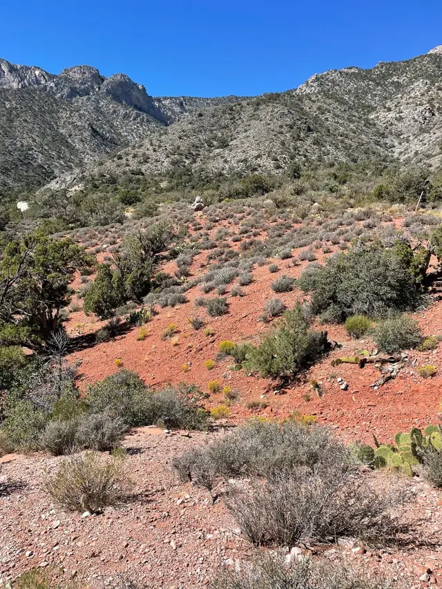
An open-air Jeep on the unpaved Rocky Gap Road, park fee included.
Explore the Rocky Gap 4x4 Jeep tourFrequently asked questions
How long is the Red Rock Canyon Scenic Drive?
It is 13 miles one way and takes about 45 minutes without stops, though most visitors use two hours or more.
What are the main stops on the Scenic Drive?
Calico Hills I and II, Sandstone Quarry, High Point Overlook, Willow Spring, Ice Box Canyon and Pine Creek, after the Visitor Center.
Can you do the Scenic Drive in reverse?
No. The loop is one way, and driving the wrong way, counter-clockwise, is illegal and can be ticketed.
Is there water on the Scenic Drive?
No. Only the Visitor Center and campground have drinking water, so fill up before you start.
Ready to book
Choose your Red Rock Canyon tour
Every option here can be cancelled for a full refund; the deadline is on each listing. Prices are from-prices in USD and move with the season.
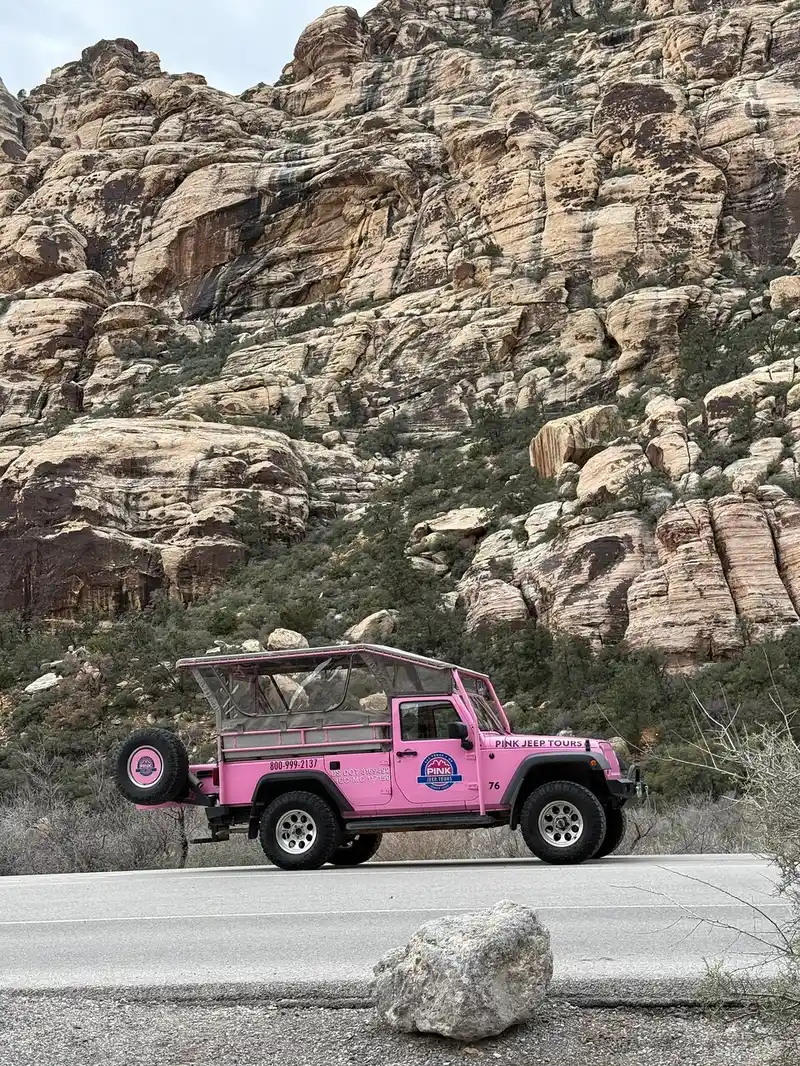
Red Rock Canyon Small-Group Guided Tour
- About 4 hours fully guided on the Scenic Loop
- Round-trip transportation to and from Las Vegas hotels
- Entrance fees
Red Rock Canyon 4x4 Jeep Tour on Rocky Gap Road
An open-air Jeep Wrangler on the unpaved Rocky Gap Road, with the park fee included
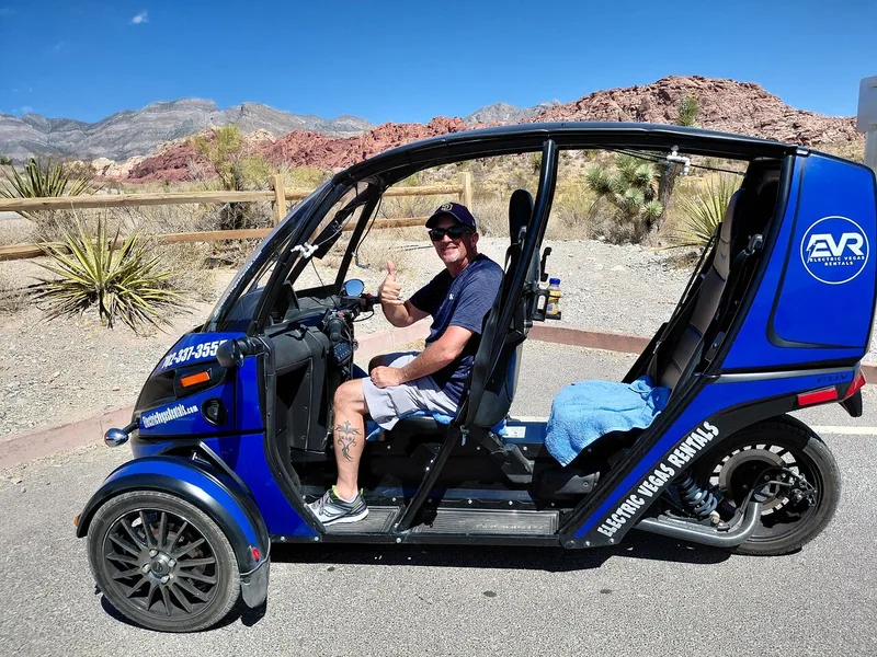
Self-Drive Electric Car with GPS Audio Tour
A two-seat electric car with audio commentary; the park entry is not included